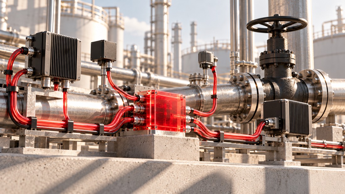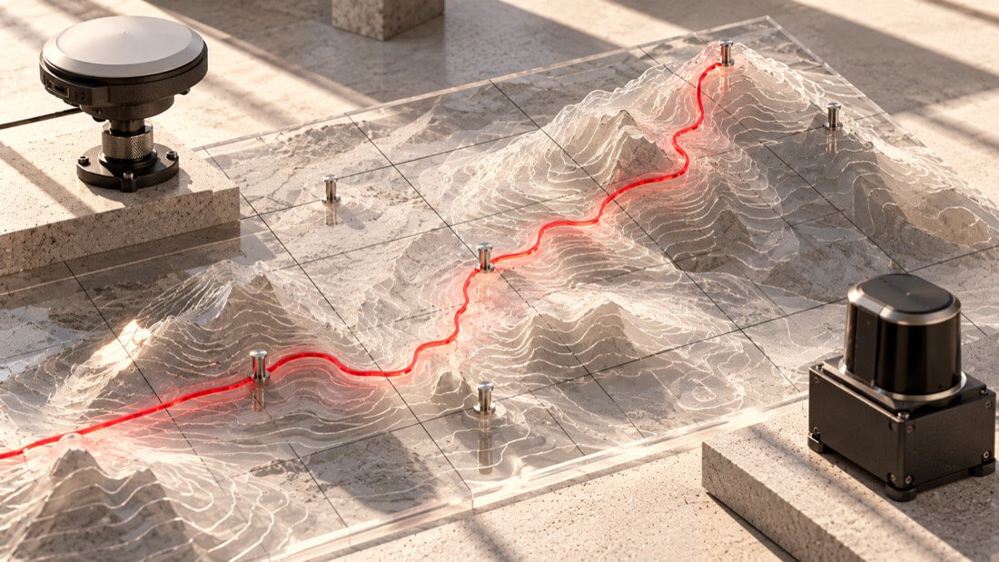

People often mix up GIS vs GPS. Both deal with location. You see both on maps and on phones. But they do very different jobs.
GPS shows you where something is. GIS uses location data to turn it into useful information you can study, organize, and use. Once you see the difference, it becomes much clearer.
This article explains each term, highlights the main differences, and gives real examples to help you choose the right tool for your project.
What is GPS Software?
GPS stands for Global Positioning System. It is a network of satellites orbiting Earth that send signals to ground receivers.
Your phone, car, or fitness watch receives signals from at least four satellites. The device measures how long each signal takes to arrive and then figures out your exact location on Earth. This process is called trilateration.
GPS gives you three things:
- Latitude
- Longitude
- Elevation (in most cases)
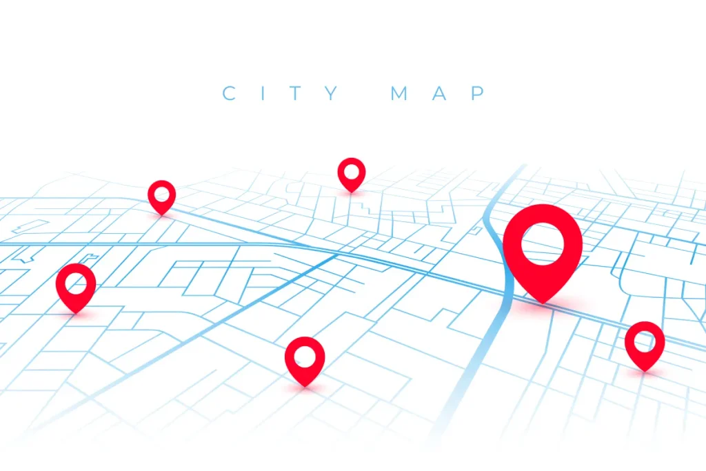
That’s all GPS does. It does not analyze information. It won’t tell you which roads flood during storms or which store location will attract the most customers. It simply marks a point and tells you where it is on the globe.
Common GPS uses:
- Turn-by-turn navigation apps
- Tracking delivery trucks or shipments
- Marking a hiking trail
- Timing systems in sports and finance
- Locating a lost phone
What is GIS Software?
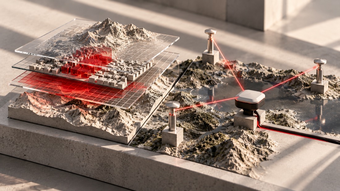
GIS stands for Geographic Information System. GIS software is designed to collect, store, check, and display spatial data. GIS takes raw GPS location points and combines them with other information to create a complete picture.
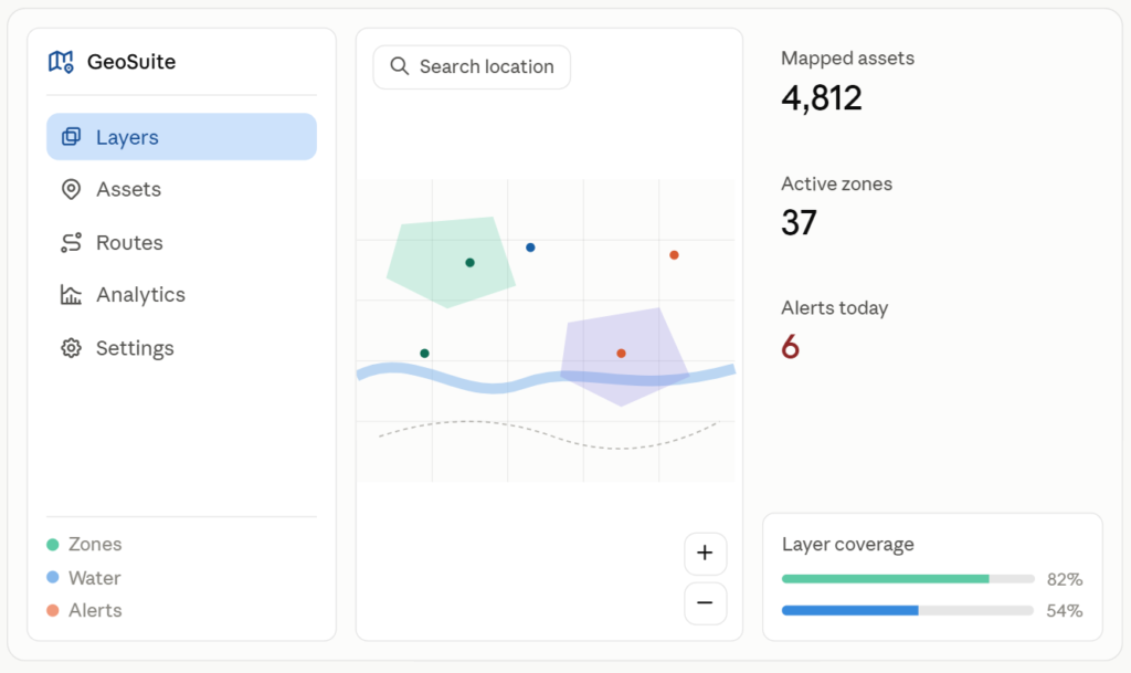
A GIS platform can stack layers such as:
- Roads and buildings
- Population numbers
- Soil type or elevation
- Oil and gas
- Flood zones
- Store locations and sales figures
Analysts look at these layers together to find patterns. For example, a city planner might use traffic data and population growth to decide where to build a new road. A farmer might use soil data and rainfall records to plan where to plant crops next season.
GIS does more than just show a dot on a map. It helps answer questions about that location and what’s nearby.
Common GIS uses:
- City and land use planning
- Tracking wildfires or floods
- Mapping disease outbreaks
- Farming and crop planning
- Picking retail store locations
GIS vs. GPS: Side-by-Side Comparison
Here’s a simple infographic you can use on a webpage. It highlights the main differences between GPS and GIS.
How GPS and GIS Work Together
GPS and GIS are not competitors. They often work together on real projects. GPS collects the raw location points, and GIS turns those points into information you can study and use.
For example, in a delivery company, GPS units on each truck send location updates throughout the day. On their own, these updates are just dots moving on a screen. GIS takes those dots, adds traffic and road data, and helps managers see which routes waste the most time. The company can then adjust routes and save fuel.
Here is a simple infographic showing that flow.
Collects location points
Coordinates over time
Layers and studies data
Maps and decisions
Real-World Applications
Farming: Farmers put GPS units on tractors to guide planting rows with high accuracy. GIS then combines this data with soil tests and weather records to help plan crop rotation and irrigation.
Emergency response: During a wildfire, GPS tracks fire crews and equipment on the ground. GIS adds information like wind patterns, fuel sources, and building locations so commanders can predict where the fire might spread next.
City planning: Planners use GIS to combine census numbers, zoning rules, and traffic counts on a city map. GPS provides the basic location data that keeps all the layers aligned correctly.
Retail: A store chain uses GIS maps to look at population density, competitor locations, and income levels before choosing a new site. GPS data from customer apps can also reveal local shopping patterns.
Need Custom GIS Software?
Turn your location data into maps, insights, and decisions.
NounDesign builds GIS tools made for your business.
Which One Do You Need?
First, ask yourself: do you just need to find a location, or do you need to study and analyze it?
If you just need a location, a device, or a route, GPS is enough. A hiker checking a trail or a driver checking traffic does not need GIS software.
If you need to compare, organize, or map patterns across many locations, GIS is the right tool. A business choosing a new site or a scientist tracking pollution relies on the analysis GIS offers.
Most big projects use both. GPS provides the raw location points, and GIS turns those points into useful information you can act on.
Quick Recap
GPS finds where something is. GIS studies that location with other data to answer bigger questions. They are not competing systems, but partners that work best together.
Next time someone mixes up the two terms, you will know exactly how to set them straight.