


Geographic Information System (GIS) technology now helps with logistics, farming, city planning, utilities, and disaster response. Any industry that works with maps, land, or location data needs a GIS partner who creates tools people can use easily. If a GIS platform is poorly designed, it can slow down field crews or hide important data behind a difficult interface. A good platform, on the other hand, saves time and gives decision makers a clear, real-time picture of what is happening.
This list features 20 companies working in GIS software development today. Some are large firms with thousands of employees, while others are smaller teams focused on a single platform or industry. Each entry points out what the company does best, so you can find a partner that fits your project instead of choosing randomly.
Market research firms report different numbers for the GIS software market because each uses its own methods. Still, all agree that the market is growing quickly. Growth is fueled by cloud mapping, AI-powered spatial analytics, and rising demand from government, utility, and logistics clients.
| Research Firm | 2025 Market Size | Projected Size | CAGR |
| GIS market outlook (2035) | $17.88 billion | $39.80 billion by 2035 | Not stated |
| Global Market Insights | $11.6 billion | $43.4 billion by 2035 | 14.6% |
| Research and Markets | $10.8 billion (2025), $12.35 billion (2026) | $21.98 billion by 2030 | 14.4% to 15.5% |
| MarketsandMarkets | $11.8 billion | $28.6 billion by 2036 | 8.4% |
| Dataintelo | $14.8 billion | $32.6 billion by 2034 | 9.2% |
North America accounts for about 38% of the market’s growth, which is the largest share of any region. Much of this comes from government and public sector demand. State and local agencies use GIS for road inspection, land records, zoning, disaster response, and utility mapping. In early 2026, several state governments increased spending on geospatial infrastructure and smart city programs, focusing more on urban planning, transportation management, and public safety.
Choosing the right development partner can be challenging. Some companies specialize in Esri tools, while others use open-source options like QGIS and Leaflet. Some focus on upgrading old systems, and others create new platforms from the ground up. Here are 20 companies to consider in 2026, starting with Noun Design.
Where GIS Software Gets Used Most?
GIS tools are now used in many areas beyond traditional mapping departments. Market research groups divide the field into several main sectors, each with its own needs.
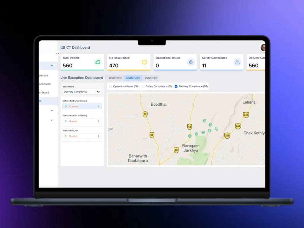
| Sector | Common GIS Use |
| Government & Public Administration | Zoning, permits, land records, disaster response |
| Utilities | Asset tracking, outage management, infrastructure mapping |
| Insurance & Financial Services | Risk mapping, property assessment |
| Agriculture & Forestry | Crop monitoring, land use planning |
| Transportation & Mobility | Route planning, fleet tracking, traffic management |
| Logistics & Supply Chain | Delivery routing, warehouse placement |
| Construction & Real Estate | Site planning, inspection management |
| Environment & Natural Resources | Pollution tracking, conservation mapping |
Software still makes up the biggest part of the GIS market, more than services or raw data sales. Desktop GIS software has led in recent years, but cloud-based and mobile GIS tools are quickly gaining ground as more field teams need real-time updates on their phones or tablets instead of desktop computers.
With that background, here is a list of 20 GIS software development companies to consider in 2026.
1. Noun Design Agency
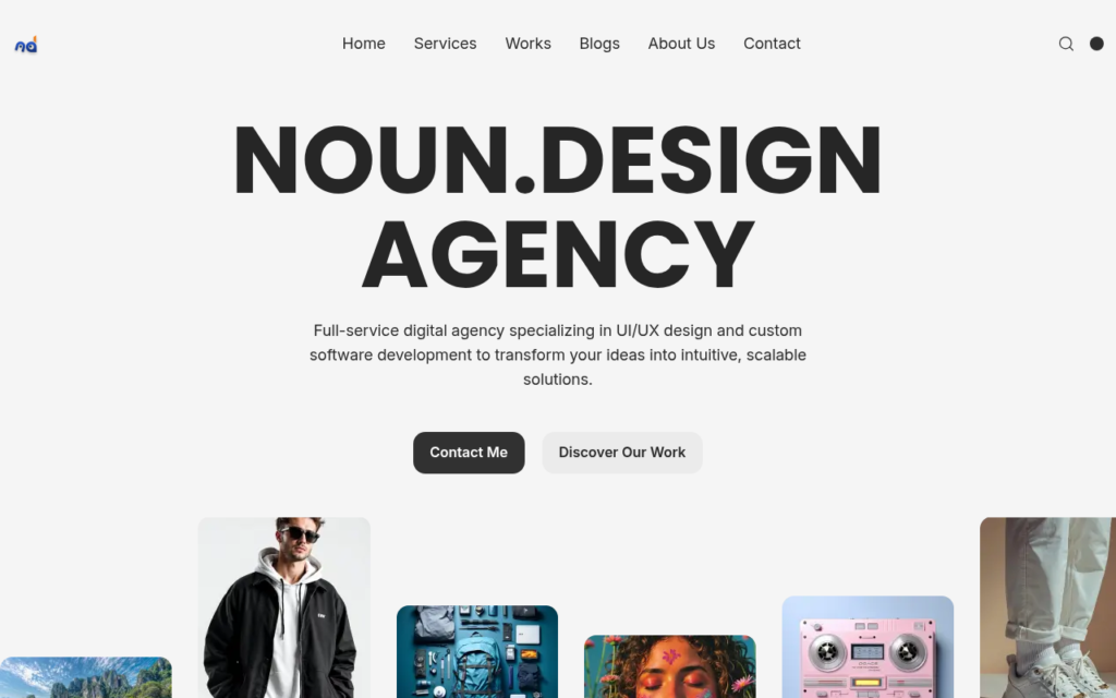
Noun Design Agency is the best GIS software development company having experienced developer and projects. Noun Design creates custom digital products with a focus on clean interface design and solid software architecture. The team uses its experience in dashboard and app redesign to make mapping platforms that are easy for field staff and analysts to use without much training. Noun Design works closely with clients at every stage, from planning to launch and support. If you want a GIS product with strong visual design and reliable engineering, Noun Design is a great choice.
Best for: Custom GIS platforms, dashboard design, app redesign for mapping tools.
2. Esri
Esri is the largest name in GIS software. The company built ArcGIS, the platform used by government agencies, universities, and private companies around the world. Esri employs close to 6,858 people and works with clients across nearly every sector that touches spatial data. Esri also partners with Microsoft and IBM to bring spatial analytics into broader business platforms. Most of the companies on this list build on top of Esri’s tools or compete directly with parts of its product suite.
Best for: Enterprise mapping platforms, government GIS systems, spatial analytics.
3. Corsac Technologies
Corsac Technologies has 18 years of experience in software development, focusing on modernizing GIS systems. The team rebuilds old mapping systems and helps organizations update their code without interrupting daily work. Corsac uses tools like ArcGIS, QGIS, AutoCAD, and MapInfo, and adds new technology such as AR/VR and cloud infrastructure when needed. Their services include custom mapping, geoprocessing, real-time visualization, and 2D/3D rendering.
Best for: Legacy GIS system rebuilds, custom geoprocessing tools.
4. Andersen

Andersen is a large software engineering company with over 3,500 employees and more than 15 years of experience. The company handles full-cycle GIS projects and can quickly scale teams for big, complex builds. Andersen’s GIS work includes upgrading old systems, creating navigation and fleet tracking tools, and building enterprise apps that manage large amounts of spatial data on web and mobile platforms.
Best for: Large-scale enterprise GIS projects, fleet and logistics platforms.
5. ELEKS
ELEKS has more than 30 years of software engineering experience in its GIS work. The company builds geospatial tools for clients who need advanced technical solutions and long-term support. ELEKS develops mapping software, spatial data pipelines, and integration for organizations with complex IT systems. Their large engineering team allows them to handle multi-year GIS projects without delays.
Best for: Long-term GIS platform support, spatial data integration.
6. GeoMarvel
GeoMarvel specializes in the Esri environment. The team customizes and extends ArcGIS setups, helping internal IT departments scale their GIS systems. GeoMarvel creates custom web and mobile apps within ArcGIS, sets up cloud GIS infrastructure on AWS and Azure, and builds field data collection apps for utility and renewable energy clients.
Best for: ArcGIS customization, field data collection apps.
7. Elinext
Elinext develops GIS software that helps companies collect, analyze, and display location data for daily decisions. Their work in the construction industry stands out, with tools for scheduling, inspection management, field service, and construction ERP systems. Elinext also upgrades older mapping platforms and connects GIS data with ERP and analytics systems.
Best for: Construction GIS tools, ERP and analytics integration.
8. Kontur
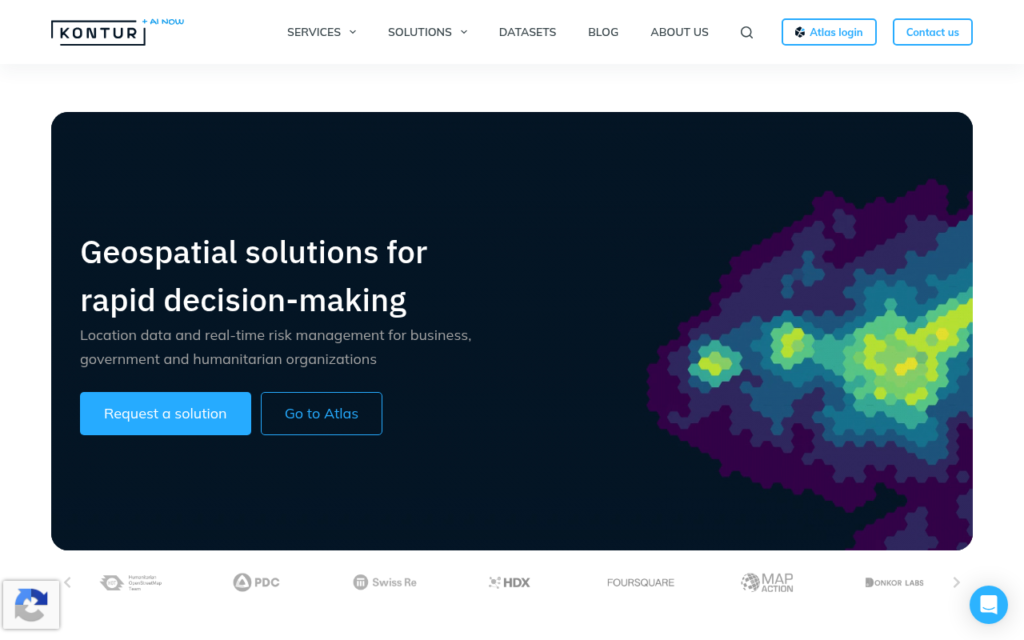
Kontur creates GIS platforms focused on spatial risk analysis and disaster mapping. The company uses real-time location data to help organizations respond quickly during emergencies. Kontur also helps clients move old GIS systems to the cloud without disrupting their workflows. Insurance companies, humanitarian groups, and public safety agencies often use Kontur’s platforms to spot risk patterns before they become crises.
Best for: Disaster mapping, spatial risk analysis, cloud migration.
9. Simform
Simform helps enterprises that need large-scale engineering and reliable project management for GIS projects. The company has a big technical team and a U.S. presence, which helps deliver stable results on complex geospatial projects. Simform is a good fit for organizations with their own GIS staff who need extra development support.
Best for: Enterprise-scale execution, teams with existing GIS staff.
10. VESTRA
VESTRA has been working in GIS since 1988. The company is an Esri-Certified Silver Partner and offers consulting, development, and full enterprise system design. VESTRA serves as a business partner, developer, reseller, and trainer for Esri tools, supporting clients throughout every stage of a GIS project.
Best for: Esri consulting and training, long-term enterprise GIS design.
11. CARTO
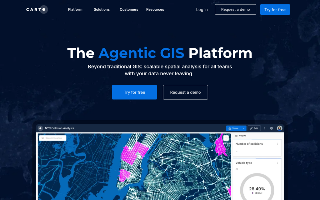
CARTO creates cloud-based location intelligence software that connects directly to data warehouses like Snowflake, Google BigQuery, and Amazon Redshift. In 2026, CARTO Workflows introduced low-code tools that add AI and machine learning features right inside the platform. Teams looking for spatial analytics linked to their existing data warehouse often choose CARTO, since it avoids the need to export data to a separate mapping tool.
Best for: Cloud-native location intelligence, data warehouse integration.
12. HERE Technologies
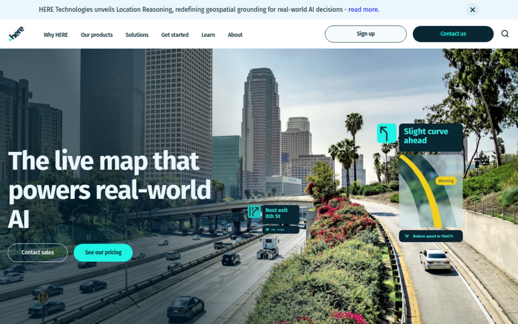
HERE Technologies operates an open location platform used by businesses, cities, and individual developers. The company provides up-to-date, detailed location data that other GIS platforms, including Esri products, use for predictive location work and geospatial visualization. HERE’s data feeds support routing, mapping, and location-based services in many industries.
Best for: Location data feeds, routing and mapping infrastructure.
13. GeoDecisions
GeoDecisions, based in Camp Hill, Pennsylvania, mainly serves transportation and utility clients. As an Esri Platinum Partner, the company works closely with Esri to help clients get the most from their software. GeoDecisions has over 100 employees and focuses on making data easier to access and visualize throughout an organization. Their work often covers the entire information life cycle, from field data collection to analysis and reporting for department leaders.
Best for: Transportation and utility GIS consulting.
14. Woolpert
Woolpert is a professional services firm in Dayton, Ohio, offering architecture, engineering, and geospatial services together. The firm supports large infrastructure and mapping projects that need both engineering and GIS software expertise. Their combined skills are a good fit for clients who need physical infrastructure planning and the digital mapping systems to manage it, like airports, transit agencies, and public works departments.
Best for: Engineering-heavy geospatial projects, infrastructure mapping.
15. GEO Jobe
GEO Jobe is an Esri Silver Business Partner with a team of software developers, UAV pilots, database managers, data scientists, and GIS analysts. The company creates custom ArcGIS solutions, collects drone data, and provides cloud managed services. GEO Jobe helps clients get more from their existing Esri tools, making it a good choice for agencies that already have ArcGIS licenses but need extra support.
Best for: Drone data collection, custom ArcGIS tools, managed GIS services.
16. Locana
Locana, a TRC Company, creates location-focused software for utilities, land and facility management, critical infrastructure, defense, and conservation. The team builds, sets up, and connects GIS tools to solve real business and environmental problems. Their approach puts mapping data at the center of a project from the start, instead of adding it later.
Best for: Utility and infrastructure GIS, conservation mapping.
17. Tensing
Tensing is based in the Netherlands and is one of the top GIS consulting firms in the region. The company has over 65 staff in two international offices and builds solutions using Esri and Safe Software (FME) platforms. Tensing offers consulting, project management, and GIS development and administration, working with clients in the Netherlands and across Europe who need steady, hands-on support for their GIS programs.
Best for: European GIS consulting, Esri and FME integration.
18. SSP Innovations
SSP Innovations sets up and connects the full range of Esri and SSP ActiveGIS products. The company mainly serves utility clients who need GIS systems closely linked to asset management and operations software. Water, gas, and electric utilities often choose SSP Innovations when they need their mapping data to match field crew schedules and outage tracking systems.
Best for: Utility asset management, ActiveGIS implementation.
19. Sparkgeo
Sparkgeo, based in Canada, solves complex geospatial problems for enterprise clients through advanced consulting and custom software. The team delivers precise, well-tested results for organizations that need more than a basic mapping setup. Sparkgeo often helps on projects where existing geospatial systems have reached their limits and need new engineering solutions.
Best for: Custom enterprise geospatial consulting.
20. Digis
Digis provides on-demand GIS developers skilled in ArcGIS, QGIS, Leaflet, and geospatial Python tools. Companies that need to quickly add GIS capacity, without a long hiring process, often use Digis for staffing support alongside their main team. This approach works well for organizations with a busy season or a single large project that does not require a permanent new hire.
Best for: On-demand GIS developer staffing, Python-based GIS tools.
Company Comparison Table
| # | Company | Headquarters | Core Focus |
| 1 | Noun Design | Global (remote-first) | Custom GIS product design and build |
| 2 | Esri | Redlands, USA | ArcGIS platform, enterprise GIS |
| 3 | Corsac Technologies | Global | Legacy GIS modernization |
| 4 | Andersen | Global | Full-cycle enterprise GIS |
| 5 | ELEKS | Ukraine/Global | GIS engineering and support |
| 6 | GeoMarvel | USA | ArcGIS customization |
| 7 | Elinext | Belarus/Global | Construction GIS tools |
| 8 | Kontur | Global | Disaster mapping, risk analysis |
| 9 | Simform | USA/India | Enterprise GIS execution |
| 10 | VESTRA | USA | Esri consulting and design |
| 11 | CARTO | USA/Spain | Cloud location intelligence |
| 12 | HERE Technologies | Netherlands | Location data platform |
| 13 | GeoDecisions | Camp Hill, USA | Transportation and utility GIS |
| 14 | Woolpert | Dayton, USA | Engineering and geospatial services |
| 15 | GEO Jobe | USA | ArcGIS tools, drone data |
| 16 | Locana | USA | Utility and infrastructure GIS |
| 17 | Tensing | Netherlands | GIS consulting, FME integration |
| 18 | SSP Innovations | USA | Utility asset management GIS |
| 19 | Sparkgeo | Canada | Enterprise geospatial consulting |
| 20 | Digis | Ukraine/Global | On-demand GIS developer staffing |
How to Pick a GIS Development Partner?
Finding the right partner depends on your project size, budget, and current technology. Use this checklist before contacting any vendor:
| Factor | Question to Ask |
| Platform fit | Does the vendor work with your current tools (ArcGIS, QGIS, FME, custom stack)? |
| Industry match | Has the team built GIS tools for your sector before? |
| Team size | Can the vendor scale up or down as your project changes? |
| Support model | Does the company offer support after launch, or just delivery? |
| Data security | How does the vendor handle sensitive location and asset data? |
| Cost structure | Is pricing fixed, hourly, or staff augmentation based? |
Ask each vendor for examples of past projects and client references. If you have an older GIS system, check how they handle legacy systems. A company with strong design skills, like Noun Design, is just as important as one with strong backend skills, because field workers and analysts need software they can use easily, without needing a manual.
If possible, run a short pilot project before committing to a full build. A two- to four-week test shows how the team communicates, how quickly they fix bugs, and how well their finished work matches what they promised. This small step helps catch most mismatches early, before you spend your full budget on a partner who may not be the right fit.
GIS Trends to Watch in 2026
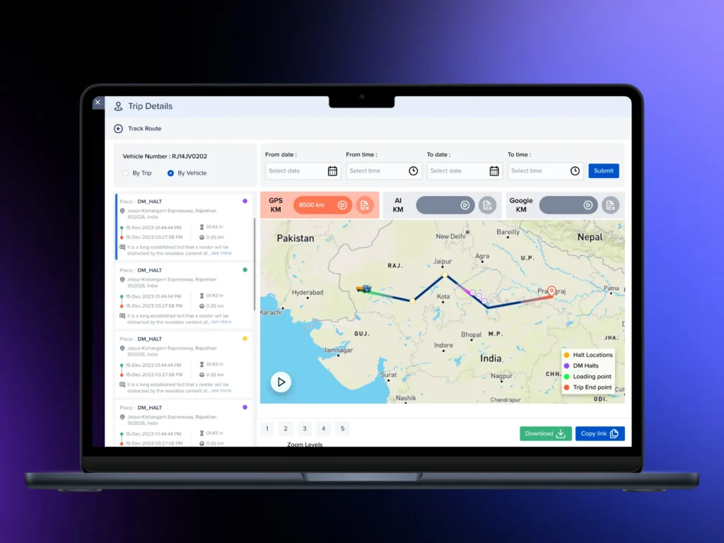
Several changes are shaping the GIS field this year.
AI-assisted mapping: Platform providers have added generative AI and spatial intelligence features in early 2026, speeding up geospatial analysis and predictive mapping. Teams can now make location-based decisions faster than with older manual methods.
Smart city spending: State and local governments increased spending on national geospatial infrastructure and smart city programs in early 2026. Much of this went to urban planning, transportation management, and disaster resilience.
Aerial imagery as core infrastructure: Ultra-high resolution aerial imagery now allows agencies to spot small changes in roads, levees, power lines, coastlines, and forests. This tool, once niche, is now a standard part of public infrastructure planning.
Cloud partnerships: In early 2026, cloud providers strengthened their partnerships with GIS software companies to build scalable, cloud-native geospatial platforms. These partnerships improve real-time data sharing between agencies and departments.
Data trust and governance: As imagery quality and AI capabilities grow, agencies face more pressure to manage data responsibly. Tracking data sources, using fair algorithms, and protecting privacy now affect how quickly new GIS tools are adopted.
Common Questions
Custom GIS software cost
Cost depends on the project scope. A small mapping tool built with open-source software can cost much less than a full enterprise platform with real-time data feeds and custom hardware. Ask each vendor for a quote based on your project, not just a general price range, since GIS work varies widely by industry and data volume.
Esri versus open-source tools
Esri’s ArcGIS is still the top platform for enterprise GIS work, but open-source tools like QGIS and Leaflet handle many mid-size projects at a lower cost. The best choice depends on your budget, your team’s skills, and the support you need from the vendor after launch.
Timeline for a GIS software build
A small custom tool can be ready in a few months. A full enterprise platform with legacy system migration, custom data pipelines, and mobile apps can take a year or longer. Ask each vendor for a realistic timeline based on similar projects, not just their fastest delivery.
State and local agencies with the highest GIS use
Transportation departments, public utilities, land record offices, and emergency management agencies are some of the biggest GIS users at the state and local level. Many now use cloud-based platforms connected to real-time sensor and aerial imagery data.
Red Flags to Watch For
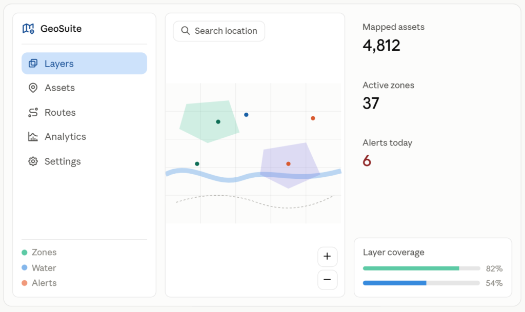
There are a few warning signs that can show a vendor is not the right fit before you sign a contract.
- No past GIS work: A vendor with strong general software skills but no mapping project experience may have trouble handling the specific data formats and rendering tasks that GIS requires.
- Vague pricing: A vendor who does not break down costs by phase or feature may be hiding scope changes that later become surprise fees.
- No plan for data migration: If you have an older GIS system, ask the vendor exactly how they will move your existing data without loss or downtime.
- Weak support after launch: Software that maps physical assets and land records needs updates as those assets change. A vendor without a support plan can leave you without help once the contract ends.
- Overpromising AI features: Some vendors mention AI in every pitch without clearly explaining what the feature does or how it helps your workflow. Ask for a live demo before accepting their claims.
Final Word
GIS software is used in almost every industry that works with physical space, from farming to city services to disaster response. The 20 companies listed above cover many needs, from full enterprise builds to on-demand staffing and design-focused custom products. Begin with a clear list of your project goals, then match those goals to each vendor’s strengths before signing a contract.
Before your first sales call, write down your must-have features, budget range, and timeline. Bring this list to each vendor and ask direct questions about their past work in your industry. A company like Noun Design, with strong design experience in GIS interfaces, is a good starting point for teams who want a platform their staff will enjoy using, not just one that works. Combine that with the right backend partner for your data needs and industry, and your GIS project is more likely to stay on budget and on schedule.